
Haaksbergen topographic map
Interactive map
Click on the map to display elevation.
About this map
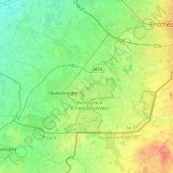
Name: Haaksbergen topographic map, elevation, terrain.
Location: Haaksbergen, Overijssel, Niederlande (52.11807 6.62435 52.20633 6.88975)
Average elevation: 30 m
Minimum elevation: 10 m
Maximum elevation: 71 m