
Coates topographic map
Interactive map
Click on the map to display elevation.
About this map
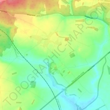
Name: Coates topographic map, elevation, terrain.
Average elevation: 133 m
Minimum elevation: 100 m
Maximum elevation: 178 m
Other topographic maps
Click on a map to view its topography, its elevation and its terrain.
Cirencester
United Kingdom > England > Cotswold > Cirencester
Cirencester, Cotswold, Gloucestershire, South West England, England, GL7, United Kingdom
Average elevation: 130 m