
Santa Isabel topographic map
Interactive map
Click on the map to display elevation.
About this map
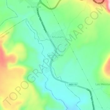
Name: Santa Isabel topographic map, elevation, terrain.
Location: Santa Isabel, Ahuacatlán, Nayarit, 63925, México (21.14259 -104.64360 21.18259 -104.60360)
Average elevation: 881 m
Minimum elevation: 766 m
Maximum elevation: 1,127 m