
Lo de Villa topographic map
Interactive map
Click on the map to display elevation.
About this map
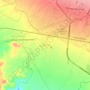
Name: Lo de Villa topographic map, elevation, terrain.
Location: Lo de Villa, Colima, 28620, México (19.21118 -103.78815 19.25118 -103.74815)
Average elevation: 434 m
Minimum elevation: 367 m
Maximum elevation: 485 m
Other topographic maps
Click on a map to view its topography, its elevation and its terrain.