
Murray County topographic map
Interactive map
Click on the map to display elevation.
About this map
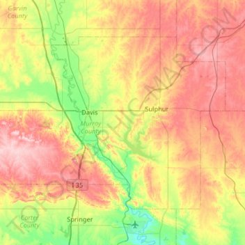
Name: Murray County topographic map, elevation, terrain.
Location: Murray County, Oklahoma, United States (34.33235 -97.35222 34.63713 -96.82719)
Average elevation: 310 m
Minimum elevation: 208 m
Maximum elevation: 433 m