
D 67 topographic map
Interactive map
Click on the map to display elevation.
About this map
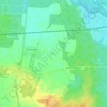
Name: D 67 topographic map, elevation, terrain.
Average elevation: 92 m
Minimum elevation: 79 m
Maximum elevation: 111 m
Other topographic maps
Click on a map to view its topography, its elevation and its terrain.
D 21
Germany > Brandenburg > Neuhausen/Spree
D 21, Neuhausen/Spree, Spree-Neiße, Brandenburg, 03058, Germany
Average elevation: 93 m
D 45
Germany > Brandenburg > Neuhausen/Spree
D 45, Neuhausen/Spree, Spree-Neiße, Brandenburg, Germany
Average elevation: 99 m