
Pechgraben topographic map
Interactive map
Click on the map to display elevation.
About this map
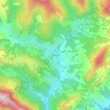
Name: Pechgraben topographic map, elevation, terrain.
Location: Pechgraben, Großraming, Bezirk Steyr-Land, 4463, Österreich (47.90300 14.51421 47.94300 14.55421)
Average elevation: 602 m
Minimum elevation: 398 m
Maximum elevation: 961 m