
Khatamba topographic map
Interactive map
Click on the map to display elevation.
About this map
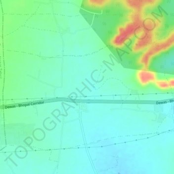
Name: Khatamba topographic map, elevation, terrain.
Location: Khatamba, Dewas Tahsil, Dewas District, Madhya Pradesh, India (22.96184 76.11615 22.98791 76.15507)
Average elevation: 537 m
Minimum elevation: 518 m
Maximum elevation: 588 m
Other topographic maps
Click on a map to view its topography, its elevation and its terrain.
Lohar
India > Madhya Pradesh > Dewas Tahsil
Lohar, Dewas Tahsil, Dewas District, Madhya Pradesh, India
Average elevation: 522 m