
Town of Hurley topographic map
Interactive map
Click on the map to display elevation.
About this map
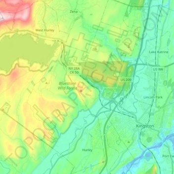
Name: Town of Hurley topographic map, elevation, terrain.
Location: Town of Hurley, Ulster County, New York, United States (41.89160 -74.19005 42.02549 -74.04324)
Average elevation: 123 m
Minimum elevation: -8 m
Maximum elevation: 420 m