
Lac du Vivier topographic map
Interactive map
Click on the map to display elevation.
About this map
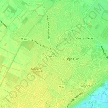
Name: Lac du Vivier topographic map, elevation, terrain.
Average elevation: 168 m
Minimum elevation: 155 m
Maximum elevation: 173 m
Other topographic maps
Click on a map to view its topography, its elevation and its terrain.
Cité des Fleurs
France > Occitanie > Haute-Garonne > Cugnaux
Cité des Fleurs, Cugnaux, Toulouse, Haute-Garonne, Occitanie, France métropolitaine, 31270, France
Average elevation: 165 m