
Mt Baldy topographic map
Interactive map
Click on the map to display elevation.
About this map
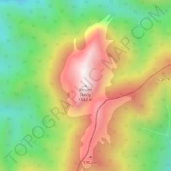
Name: Mt Baldy topographic map, elevation, terrain.
Location: Mt Baldy, Buller District, West Coast, New Zealand (-41.38044 172.55547 -41.38034 172.55557)
Average elevation: 1,059 m
Minimum elevation: 661 m
Maximum elevation: 1,516 m