Geolocate

Cascade topographic map

Click on the map to display elevation.

About this map
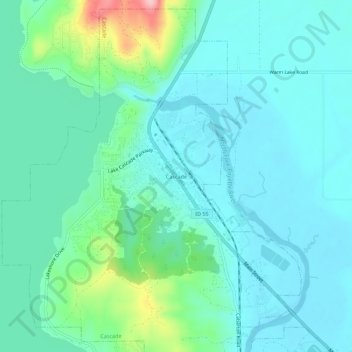
Name: Cascade topographic map, elevation, terrain.

Location: Cascade, Valley County, Idaho, United States (44.49599 -116.06184 44.53599 -116.02184)

Average elevation: 1,470 m

Minimum elevation: 1,437 m

Maximum elevation: 1,608 m

Gear up for your next adventure:

🔨Multi-tool Devices - Versatile tools for gear repairs in the field
🍁Eco‑Friendly Outdoor Products - Sustainable outdoor gear
🥽UV Protection Sunglasses - Protect eyes on bright days
🔋Solar Power Banks - Keep your GPS and phone charged in the Irish wilderness
🖼️Vintage Irish Map Prints - Decorative wall art for map lovers and geographers

As an Amazon Associate, this site earns from qualifying purchases at no extra cost to you.