
Sennar State topographic map
Interactive map
Click on the map to display elevation.
About this map
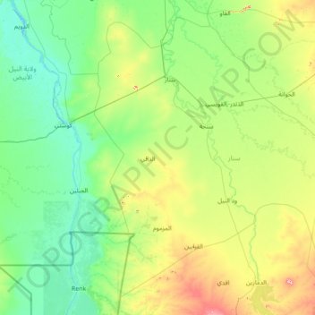
Name: Sennar State topographic map, elevation, terrain.
Location: Sennar State, Sudan (11.67454 32.94326 14.06978 35.70083)
Average elevation: 437 m
Minimum elevation: 379 m
Maximum elevation: 778 m
Other topographic maps
Click on a map to view its topography, its elevation and its terrain.