
Olmotonyi topographic map
Interactive map
Click on the map to display elevation.
About this map
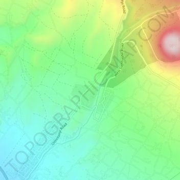
Name: Olmotonyi topographic map, elevation, terrain.
Location: Olmotonyi, Arumeru, Arusha, Northern Zone, Tanzania (-3.30979 36.63550 -3.26979 36.67550)
Average elevation: 1,681 m
Minimum elevation: 1,523 m
Maximum elevation: 2,010 m