
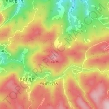
峨山 topographic map
Interactive map
Click on the map to display elevation.
About this map
Name: 峨山 topographic map, elevation, terrain.
Location: 峨山, 輪島市, 石川县, 中部地方, 927-2175, 日本 (37.26318 136.77996 37.26328 136.78006)
Average elevation: 218 m
Minimum elevation: 58 m
Maximum elevation: 338 m