
Halters Island topographic map
Interactive map
Click on the map to display elevation.
About this map
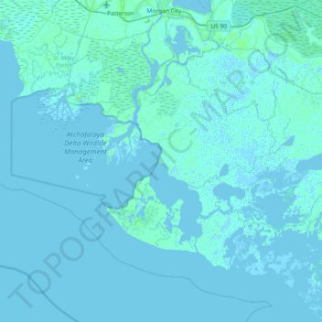
Name: Halters Island topographic map, elevation, terrain.
Location: Halters Island, Terrebonne Parish, Louisiana, United States (29.07939 -91.53289 29.71939 -90.89289)
Average elevation: 1 m
Minimum elevation: -4 m
Maximum elevation: 26 m