
Bonane topographic map
Click on the map to display elevation.
About this map
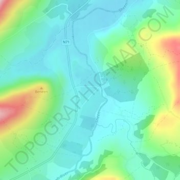
Name: Bonane topographic map, elevation, terrain.
Average elevation: 103 m
Minimum elevation: 44 m
Maximum elevation: 275 m
County Kerry trails, hiking, mountain biking, running and outdoor activities
Other topographic maps
Click on a map to view its topography, its elevation and its terrain.
Dingle
Dingle's St. Mary's is a neo-Gothic church built to designs by J. J. McCarthy and O'Connell. The foundation stone was laid in 1862. It originally had a nave and aisles separated by arcades, supported on columns capped by octagonal tops. The arcades were demolished in one of the most radical reordering schemes…
Average elevation: 41 m
Great Skellig
The island is of special interest to archaeologists, as the monastic settlement is in unusually good condition. The monastery on the northern peak is situated at an elevation of 170 to 180 m (550 to 600 ft), Christ's Saddle at 129 m (422 ft), and the flagstaff area are 37 m (120 ft) above sea level. The…
Average elevation: 1 m