
龙胜各族自治县 topographic map
Interactive map
Click on the map to display elevation.
About this map
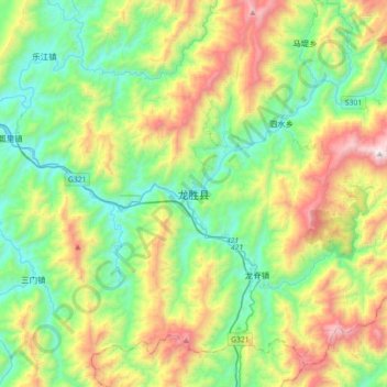
Name: 龙胜各族自治县 topographic map, elevation, terrain.
Location: 龙胜各族自治县, Guilin, Guangxi, China (25.64212 109.84822 25.96212 110.16822)
Average elevation: 726 m
Minimum elevation: 185 m
Maximum elevation: 1,892 m