
Poyales topographic map
Interactive map
Click on the map to display elevation.
About this map
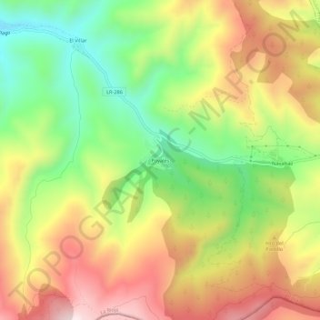
Name: Poyales topographic map, elevation, terrain.
Location: Poyales, Enciso, La Rioja, 26586, España (42.10178 -2.24802 42.14178 -2.20802)
Average elevation: 1,083 m
Minimum elevation: 815 m
Maximum elevation: 1,370 m