
Réserve Spéciale de Dzanga-Sangha topographic map
Interactive map
Click on the map to display elevation.
About this map
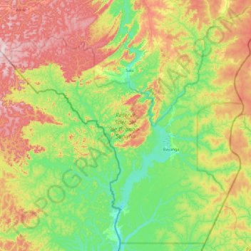
Name: Réserve Spéciale de Dzanga-Sangha topographic map, elevation, terrain.
Average elevation: 486 m
Minimum elevation: 347 m
Maximum elevation: 743 m