
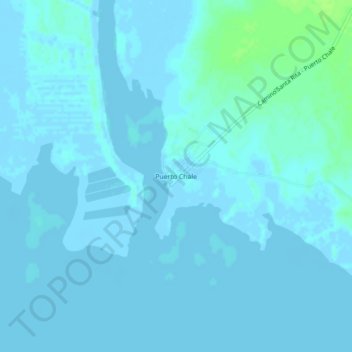
Puerto Chale topographic map
Interactive map
Click on the map to display elevation.
About this map
Name: Puerto Chale topographic map, elevation, terrain.
Location: Puerto Chale, La Paz, Baja California Sur, México (24.40353 -111.57320 24.44353 -111.53320)
Average elevation: 2 m
Minimum elevation: -4 m
Maximum elevation: 10 m