
下相街道 topographic map
Interactive map
Click on the map to display elevation.
About this map
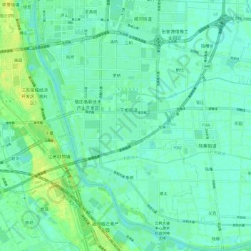
Name: 下相街道 topographic map, elevation, terrain.
Location: 下相街道, 宿豫区, 宿迁市, 江苏省, 223804, 中国 (33.84389 118.30493 33.93958 118.39736)
Average elevation: 20 m
Minimum elevation: 15 m
Maximum elevation: 30 m