
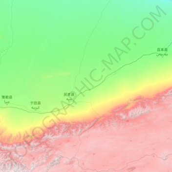
Minfeng County topographic map
Interactive map
Click on the map to display elevation.
About this map
Name: Minfeng County topographic map, elevation, terrain.
Location: Minfeng County, Hotan Prefecture, Xinjiang, China (35.33689 82.39677 39.48444 84.98375)
Average elevation: 2,497 m
Minimum elevation: 990 m
Maximum elevation: 6,908 m