
南新镇 topographic map
Interactive map
Click on the map to display elevation.
About this map
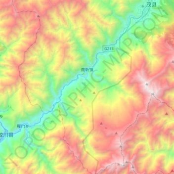
Name: 南新镇 topographic map, elevation, terrain.
Location: 南新镇, 茂县, 阿坝藏族羌族自治州, 四川省, 中国 (31.41760 103.60727 31.68903 103.91897)
Average elevation: 2,869 m
Minimum elevation: 1,325 m
Maximum elevation: 4,938 m
Other topographic maps
Click on a map to view its topography, its elevation and its terrain.