
Puerto de Dolores topographic map
Interactive map
Click on the map to display elevation.
About this map
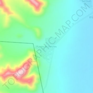
Name: Puerto de Dolores topographic map, elevation, terrain.
Location: Puerto de Dolores, Doctor Arroyo, Nuevo León, México (23.54576 -100.48615 23.58576 -100.44615)
Average elevation: 1,762 m
Minimum elevation: 1,675 m
Maximum elevation: 2,039 m