Geolocate

Wanchese topographic map

Click on the map to display elevation.

About this map
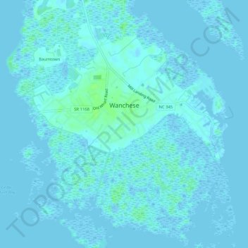
Name: Wanchese topographic map, elevation, terrain.

Location: Wanchese, Dare County, North Carolina, 27981, United States (35.81864 -75.66478 35.86034 -75.61477)

Average elevation: 1 m

Minimum elevation: -5 m

Maximum elevation: 8 m

Gear up for your next adventure:

📦Gear Organizers - Organize outdoor equipment
🔥Compact Camping Stoves - Fast-boil stoves for trail-side meals and coffee
📍Trail Markers & GPS - Tools to track and mark trails
🦯Lightweight Trekking Poles - Reduce knee strain on steep Wicklow or Kerry slopes
🦺Outdoor Safety Vests - Increase visibility and safety

As an Amazon Associate, this site earns from qualifying purchases at no extra cost to you.