Geolocate

Barail Range topographic map

Click on the map to display elevation.

About this map
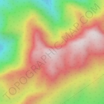
Name: Barail Range topographic map, elevation, terrain.

Location: Barail Range, Maibong, Dima Hasao, Assam, India (25.27429 93.34771 25.27439 93.34781)

Average elevation: 1,510 m

Minimum elevation: 1,116 m

Maximum elevation: 1,773 m

Gear up for your next adventure:

🧊Winter Boot Traction - Grip for icy paths in the Mourne or Derryveagh mountains
🔭Portable Monoculars - One-handed optics for quick route checking
📦Gear Organizers - Organize outdoor equipment
⌚Smart Watches for Hiking - Track performance on trails
🎁Outdoor Gift Ideas - Great gifts for adventurers

As an Amazon Associate, this site earns from qualifying purchases at no extra cost to you.