
Southaven topographic map
Interactive map
Click on the map to display elevation.
About this map
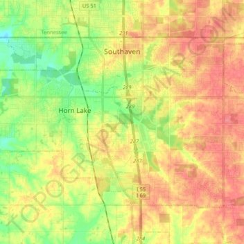
Name: Southaven topographic map, elevation, terrain.
Location: Southaven, DeSoto County, Mississippi, United States (34.90282 -90.07947 34.99505 -89.91861)
Average elevation: 99 m
Minimum elevation: 65 m
Maximum elevation: 128 m