
Limoges topographic map
Interactive map
Click on the map to display elevation.
About this map
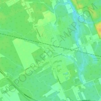
Name: Limoges topographic map, elevation, terrain.
Average elevation: 71 m
Minimum elevation: 60 m
Maximum elevation: 86 m
Other topographic maps
Click on a map to view its topography, its elevation and its terrain.
St. Isidore
Canada > Ontario > Comtés unis de Prescott et Russell > La Nation
St. Isidore, La Nation, Comtés unis de Prescott et Russell, Est de l'Ontario, Ontario, K0C 2B0, Canada
Average elevation: 63 m