
Thank you for supporting this site ❤️
Make a donation
Make a donation
Gear up for your next adventure:
As an Amazon Associate, this site earns from qualifying purchases at no extra cost to you.
Rushmore topographic map
Click on the map to display elevation.
Thank you for supporting this site ❤️
Make a donation
Make a donation
Gear up for your next adventure:
As an Amazon Associate, this site earns from qualifying purchases at no extra cost to you.
About this map
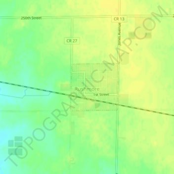
Name: Rushmore topographic map, elevation, terrain.
Location: Rushmore, Nobles County, Minnesota, United States (43.61602 -95.80408 43.62337 -95.79384)
Average elevation: 508 m
Minimum elevation: 495 m
Maximum elevation: 516 m
Thank you for supporting this site ❤️
Make a donation
Make a donation
Gear up for your next adventure:
As an Amazon Associate, this site earns from qualifying purchases at no extra cost to you.
Other topographic maps
Click on a map to view its topography, its elevation and its terrain.
Sungold Heights Mobile Home Park
United States > Minnesota > Nobles County > Worthington
Average elevation: 482 m