
Craigavon topographic map
Interactive map
Click on the map to display elevation.
About this map
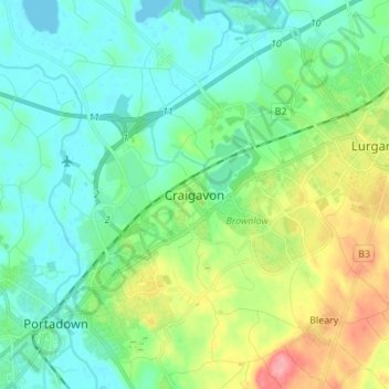
Name: Craigavon topographic map, elevation, terrain.
Average elevation: 34 m
Minimum elevation: 10 m
Maximum elevation: 97 m
Other topographic maps
Click on a map to view its topography, its elevation and its terrain.
Derrymacash
United Kingdom > Northern Ireland > Craigavon
Derrymacash, Craigavon, County Armagh, Northern Ireland, United Kingdom
Average elevation: 16 m