Geolocate

Kopperl topographic map

Click on the map to display elevation.

About this map

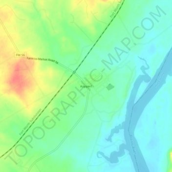
Name: Kopperl topographic map, elevation, terrain.

Location: Kopperl, Bosque County, Texas, United States (32.04987 -97.52391 32.08987 -97.48391)

Average elevation: 176 m

Minimum elevation: 158 m

Maximum elevation: 211 m

Other topographic maps

Click on a map to view its topography, its elevation and its terrain.

Lake Whitney

United States > Texas > Bosque County

Average elevation: 193 m

Valley Mills

United States > Texas > Bosque County

The airport covers 90 acres (36 ha) at an elevation of 751 feet (229 m) above mean sea level (AMSL), and has two runways.

Average elevation: 191 m

Meridian

United States > Texas > Bosque County

Average elevation: 245 m

Clifton

United States > Texas > Bosque County

Average elevation: 218 m

Bosque County

United States > Texas > Bosque County

Average elevation: 265 m

Gear up for your next adventure:

🐦Irish Bird Guides - Spot coastal and mountain birds during your hike
🖼️Vintage Irish Map Prints - Decorative wall art for map lovers and geographers
🧤Touchscreen Glove Liners - Use your mapping app without freezing your hands
📻Emergency Crank Radios - Stay informed in remote areas without power
🔨Multi-tool Devices - Versatile tools for gear repairs in the field

As an Amazon Associate, this site earns from qualifying purchases at no extra cost to you.