
Hochimst topographic map
Interactive map
Click on the map to display elevation.
About this map
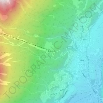
Name: Hochimst topographic map, elevation, terrain.
Location: Hochimst, Imst, Bezirk Imst, 6460, Österreich (47.22145 10.70320 47.26145 10.74320)
Average elevation: 1,073 m
Minimum elevation: 715 m
Maximum elevation: 1,972 m