
Ngasem topographic map
Interactive map
Click on the map to display elevation.
About this map
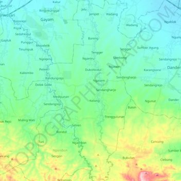
Name: Ngasem topographic map, elevation, terrain.
Location: Ngasem, Bojonegoro, Ost-Java, Jawa, Indonesien (-7.36077 111.70646 -7.15647 111.80754)
Average elevation: 80 m
Minimum elevation: 17 m
Maximum elevation: 302 m