
Parigi topographic map
Interactive map
Click on the map to display elevation.
About this map
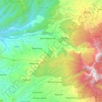
Name: Parigi topographic map, elevation, terrain.
Location: Parigi, Gowa, Süd-Sulawesi, Sulawesi, Indonesien (-5.34153 119.75469 -5.27741 119.94386)
Average elevation: 1,138 m
Minimum elevation: 264 m
Maximum elevation: 2,844 m
Other topographic maps
Click on a map to view its topography, its elevation and its terrain.