
Beero Bisle topographic map
Interactive map
Click on the map to display elevation.
About this map
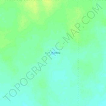
Name: Beero Bisle topographic map, elevation, terrain.
Location: Beero Bisle, Dhusamareb District, Galgaduud, Galmudug, Somalia (5.48909 46.67397 5.52909 46.71397)
Average elevation: 240 m
Minimum elevation: 233 m
Maximum elevation: 247 m