
La Guerche-sur-l'Aubois topographic map
Interactive map
Click on the map to display elevation.
About this map
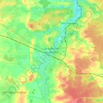
Name: La Guerche-sur-l'Aubois topographic map, elevation, terrain.
Average elevation: 195 m
Minimum elevation: 170 m
Maximum elevation: 226 m