
Thank you for supporting this site ❤️
Make a donation
Make a donation
Gear up for your next adventure:
As an Amazon Associate, this site earns from qualifying purchases at no extra cost to you.
Livata topographic map
Click on the map to display elevation.
Thank you for supporting this site ❤️
Make a donation
Make a donation
Gear up for your next adventure:
As an Amazon Associate, this site earns from qualifying purchases at no extra cost to you.
About this map
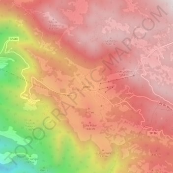
Name: Livata topographic map, elevation, terrain.
Location: Livata, Subiaco, Roma Capitale, Lazio, 00028, Italy (41.91978 13.12658 41.95978 13.16658)
Average elevation: 1,333 m
Minimum elevation: 633 m
Maximum elevation: 1,666 m
Thank you for supporting this site ❤️
Make a donation
Make a donation
Gear up for your next adventure:
As an Amazon Associate, this site earns from qualifying purchases at no extra cost to you.