
Rosebud topographic map
Interactive map
Click on the map to display elevation.
About this map
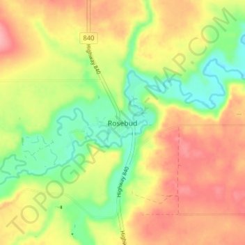
Name: Rosebud topographic map, elevation, terrain.
Location: Rosebud, Wheatland County, Alberta, Canada (51.28000 -112.97000 51.32000 -112.93000)
Average elevation: 824 m
Minimum elevation: 771 m
Maximum elevation: 874 m