
Herderen topographic map
Interactive map
Click on the map to display elevation.
About this map
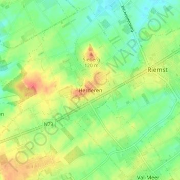
Name: Herderen topographic map, elevation, terrain.
Location: Herderen, Riemst, Tongres, Limbourg, Flandre, 3770, Belgique (50.78703 5.55423 50.82703 5.59423)
Average elevation: 103 m
Minimum elevation: 82 m
Maximum elevation: 130 m