
澜沧拉祜族自治县 topographic map
Interactive map
Click on the map to display elevation.
About this map
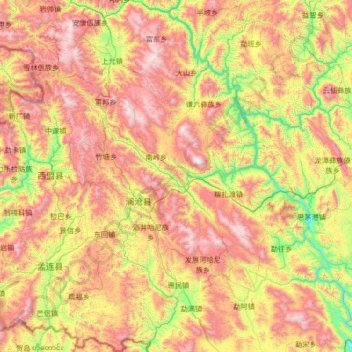
Name: 澜沧拉祜族自治县 topographic map, elevation, terrain.
Location: 澜沧拉祜族自治县, Pu’er, Yunnan, 665000, China (22.02597 99.49626 23.25816 100.58032)
Average elevation: 1,387 m
Minimum elevation: 581 m
Maximum elevation: 2,533 m
Other topographic maps
Click on a map to view its topography, its elevation and its terrain.