
Castlemahon topographic map
Interactive map
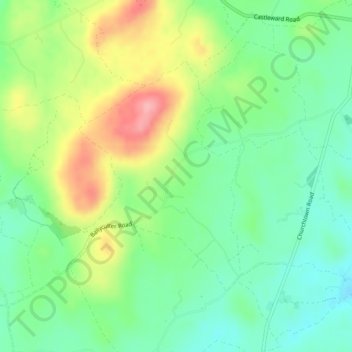
Click on the map to display elevation.
About this map
Name: Castlemahon topographic map, elevation, terrain.
Average elevation: 51 m
Minimum elevation: 8 m
Maximum elevation: 122 m
Other topographic maps
Click on a map to view its topography, its elevation and its terrain.
Lough Money
United Kingdom > Northern Ireland > Raholp
Lough Money, Ballyculter Road, Ballyalton, Raholp, County Down, Northern Ireland, United Kingdom
Average elevation: 47 m