
庄子乡 topographic map
Interactive map
Click on the map to display elevation.
About this map
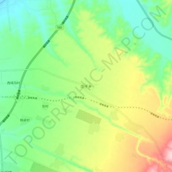
Name: 庄子乡 topographic map, elevation, terrain.
Location: 庄子乡, 晋中市, 山西省, 中国 (37.57690 112.77500 37.65690 112.85500)
Average elevation: 892 m
Minimum elevation: 791 m
Maximum elevation: 1,073 m
Other topographic maps
Click on a map to view its topography, its elevation and its terrain.