
Guacavia topographic map
Interactive map
Click on the map to display elevation.
About this map
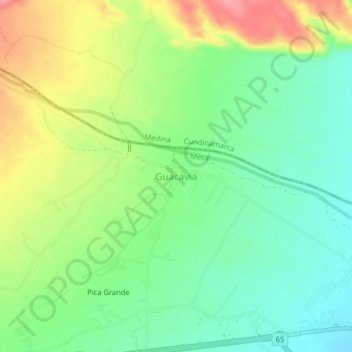
Name: Guacavia topographic map, elevation, terrain.
Average elevation: 460 m
Minimum elevation: 417 m
Maximum elevation: 527 m
Other topographic maps
Click on a map to view its topography, its elevation and its terrain.
Montebello
Montebello, Cumaral, Piedemonte, Meta, RAP (Especial) Central, Colombia
Average elevation: 250 m