
Acton topographic map
Interactive map
Click on the map to display elevation.
About this map
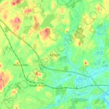
Name: Acton topographic map, elevation, terrain.
Location: Acton, Middlesex County, Massachusetts, United States (42.43694 -71.49855 42.53402 -71.38495)
Average elevation: 66 m
Minimum elevation: 31 m
Maximum elevation: 135 m