Geolocate

Baker topographic map

Click on the map to display elevation.

About this map

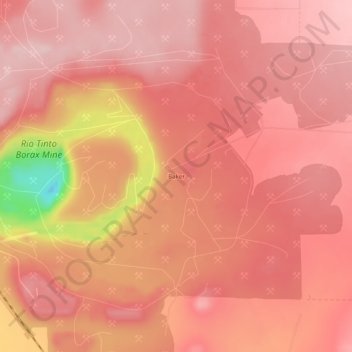
Name: Baker topographic map, elevation, terrain.

Location: Baker, Boron, Kern County, California, United States (35.02220 -117.68756 35.06220 -117.64756)

Average elevation: 765 m

Minimum elevation: 583 m

Maximum elevation: 815 m

Gear up for your next adventure:

📡Satellite Messengers - Emergency communication for remote areas without signal
🔌Travel Adapters - Essential for visitors to charge gear in Ireland
🧯Compact Fire Extinguishers - Safety for campervans and expedition vehicles
🎁Outdoor Gift Ideas - Great gifts for adventurers
🥾Mountaineering Boots - Heavy‑duty boots for rugged peaks

As an Amazon Associate, this site earns from qualifying purchases at no extra cost to you.