
Hreisheh topographic map
Interactive map
Click on the map to display elevation.
About this map
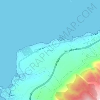
Name: Hreisheh topographic map, elevation, terrain.
Location: Hreisheh, Koura District, North Governorate, Lebanon (34.35596 35.73218 34.39596 35.77218)
Average elevation: 49 m
Minimum elevation: 0 m
Maximum elevation: 371 m