
Thank you for supporting this site ❤️
Make a donation
Make a donation
Gear up for your next adventure:
As an Amazon Associate, this site earns from qualifying purchases at no extra cost to you.
Forni topographic map
Click on the map to display elevation.
Thank you for supporting this site ❤️
Make a donation
Make a donation
Gear up for your next adventure:
As an Amazon Associate, this site earns from qualifying purchases at no extra cost to you.
About this map
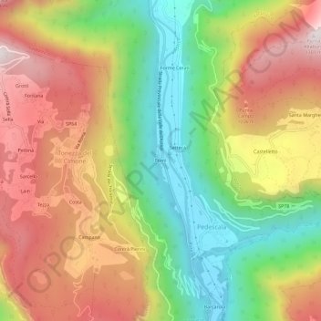
Name: Forni topographic map, elevation, terrain.
Location: Forni, Pedescala, Valdastico, Vicenza, Veneto, 36040, Italia (45.83674 11.34140 45.87674 11.38140)
Average elevation: 773 m
Minimum elevation: 298 m
Maximum elevation: 1,272 m
Thank you for supporting this site ❤️
Make a donation
Make a donation
Gear up for your next adventure:
As an Amazon Associate, this site earns from qualifying purchases at no extra cost to you.