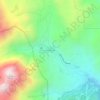
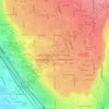
Orem topographic map
Click on the map to display elevation.
Orem
Orem is in a high desert, with an average elevation of 4,767 ft (1,453 m). According to the United States Census Bureau, the city covers an area of 18.4 sq mi (48 km2), all land. Orem is near the eastern shore of Utah Lake, bordering Provo on the east and south, Vineyard to the west, Lindon contiguous to the north, and Mount Timpanogos/Wasatch Mountain range to the east.
About this map
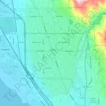
Name: Orem topographic map, elevation, terrain.
Location: Orem, Utah County, Utah, United States (40.25687 -111.75300 40.33383 -111.63455)
Average elevation: 1,458 m
Minimum elevation: 1,367 m
Maximum elevation: 1,963 m
Other topographic maps
Click on a map to view its topography, its elevation and its terrain.