
Choré topographic map
Interactive map
Click on the map to display elevation.
About this map
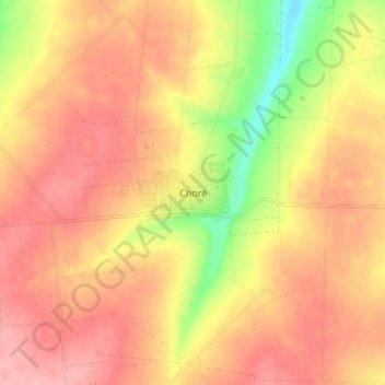
Name: Choré topographic map, elevation, terrain.
Location: Choré, San Pedro, Región Oriental, Paraguay (-24.22586 -56.62330 -24.14586 -56.54330)
Average elevation: 195 m
Minimum elevation: 115 m
Maximum elevation: 241 m